
Bring in the places
Upload CSV or JSON, or create points directly on the map. Keep reusable POIs in your own library.
Import points of interest, add the content behind each place, connect routes and areas, then publish a branded map on the web.
CSV / JSON in · public link or embed out
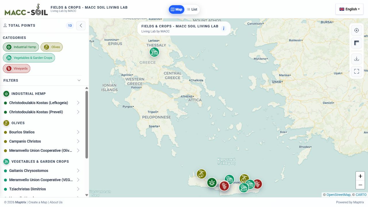
Participating fields and crops, organised by crop category on a public map. Explore the locations using the map, filters and list view.
Explore the live map ↗Maptrix keeps the data work and the public-facing map in one workflow. Build once, update centrally and publish when it is ready.
Upload CSV or JSON, or create points directly on the map. Keep reusable POIs in your own library.
Assign categories, add media and custom fields, connect routes, define areas and choose what visitors can filter.
Preview the final map, publish selected languages and share it through a public URL or responsive embed.
The platform is designed for maps that need more than coordinates: structured information, deliberate cartography and a usable public interface.
Create a full record for each place with descriptions, main images, galleries, contact details and custom fields.
Group POIs by category, add reference layers and keep dense maps readable with configurable marker clustering.
Link existing places into routes and draw points, lines or areas to show journeys, networks and coverage.
Select a map skin and font, set marker colours and use Bootstrap, Font Awesome or uploaded image icons.
Help people move through the map with search, category filters, a table view and clear place detail panels.
Translate map content, choose the published languages, export data, and deliver through public links or embeds.
Use Maptrix wherever a list of locations needs context, navigation and a presentation layer your audience can actually explore.
Publish landmarks, stories, trails and themed itineraries as one visitor-ready guide.
Turn a location directory into a searchable, filterable map with useful contact detail.
Present resources, observations and study areas without separating the data from its geography.
 YOUR DATA HAS A PLACE.
Start in the Maptrix app, or contact us to discuss a destination guide, service locator, research map or another location-based project.